
 |
| 1912 photograph of Everett waterfront (from NOAA archives). |
The lumber and paper industry experienced a major downturn in the 1980s and 1990s as a result of changing economics and more strict environmental rules (Riddle 2011). As a result, Everett’s waterfront is less heavily concentrated with heavy industry and now has a more diverse mixture of industry, international shipping, recreational boating, and the U.S. Navy.
 |
| 1946 aerial photograph of Naval Station Puget Sound Everett Homeport (courtesy U.S. Navy) |
 |
| Naval Station Everett, 2005 (courtesy U.S. Navy) |
In the 1946 photograph, the land on the upper left is Jetty Island. It consists of sand dredged from the harbor, which is brought down from the Cascades mountains by the Snohomish River. The large bulge of sand on the outer side of the jetty is the result of World-War II dredging of the naval base. The southern part of Jetty Island is narrower today. In the 2005 photograph, the sand from the south has moved north because of wave transport, and only the remnant of the 1890s jetty is visible.

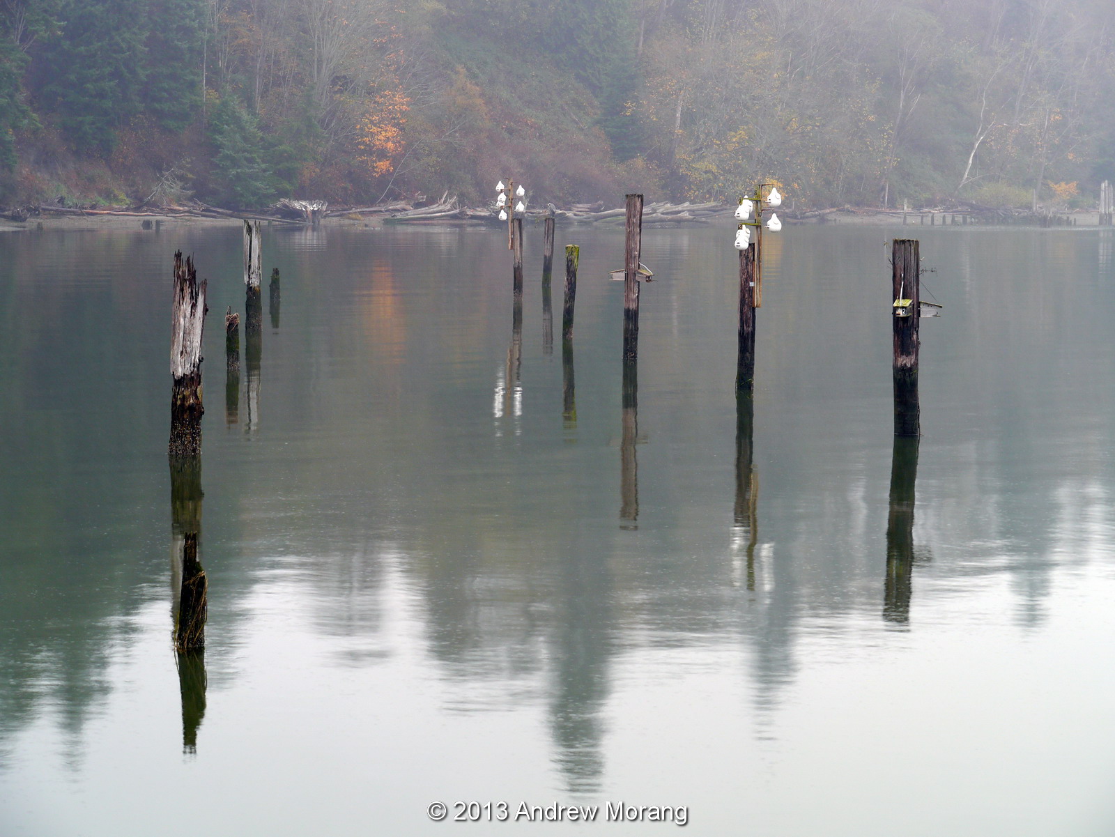 |
| Priest Point |

 |
| Digital elevation model (DEM) of central Puget Sound physiography, with steep bluffs and deep-water channels (developed at University
of Washington, courtesy of Washington Department of Ecology). Note the broad
delta of the Snohomish River east of Everett. |
 |
| Ebey Island, Snohomish River delta |
 |
| Ebey Island, Snohomish River delta |
 |
| BNSF railroad, photograph taken at Howarth Park. The Port of Everett is in the distance. |
In 1891, the Great Northern Railroad completed its line along the shore of Puget Sound between Seattle and Vancouver, British Columbia. South of Everett, the rail bed was built on the upper beach at the base of the bluffs. Along much of the 53-km stretch between Seattle and Everett, a rock revetment was built to protect the tracks from storm waves. Much of the excellent stonework was performed by Chinese laborers, working under harsh and dangerous conditions (Huang 2006).
 |
| Howarth Park path to the railroad pedestrian overpass (November 2013). |
 |
| BNSF railroad revetment (seawall) at Howarth Park |
 |
| Former mass-wasting scarp, Howarth Park. |
Although construction
of revetments and bulkheads may effectively protect upland areas and infrastructure from wave
attack, it does not fully prevent mass-wasting due to rain events. The railroad regularly needed to clear off
debris from landslides over the last century. We assume most of the material was disposed on the beach, therefore at least partly restoring sediment supply. In addition, a revetment did not prevent
continued retreat of the beach itself, with the result of a gradual narrowing
of the remnant upper beach and loss of upper intertidal habitats (Shipman 2008; 2010). Another effect of structures is to alter
natural patterns of drainage to the beach because streams and runoff are
concentrated in culverts and under bridges. The ecological effects of armoring may be especially profound because of
the loss of nutrients to the coastal zone and loss of habitat associated with
beaches
 |
| Mukilteo Point, view west, circa. 1910. The Superior Shingle Co. mill was in the foreground and the Crown Lumber Mill in the background. (Photograph no. 200.201.036, courtesy of the Mukilteo Historical Society). |
 |
| BNSF Railroad revetment from Mukilteo Point (south of the ferry landing). |
Snohomish County has proposed placing sand dredged from Everett harbor on the beaches along the BNSF revetment. Numerous logistic and regulatory problems would have to be overcome. Also, medium-coarse sand is not the native beach material on these beaches, which normally include a high percentage of gravel derived from the till bluffs. We do not know how a sand beach would respond over time. Unlike open ocean coasts, Puget Sound does not have swell waves to rebuild beaches when storm waves move sand offshore. Also, most beaches have a low-tide terrace, which abruptly drops off into deep water. Sand moved beyond the edge of the terrace would be lost from the littoral system. Prototype tests will be needed to assess whether beach nourishment using harbor sand is viable in this area. Potential beach placements will also have to be adapted to future sea level rise scenarios.
As you can see, man-made modification of the natural environment can have profound effects, often lingering for centuries.
For a much more comprehensive view of Puget Sound beaches and estuaries, see Hugh Shipman's blog, Gravel Beach. Department of Ecology has a web page on their Puget Sound Initiative. I thank my friends Hugh Shipman and Ashley Frey for their companionship and their help interpreting coastal morphology.
References
Huang, A (ed.). 2006. Silent Spikes, Chinese Laborers and the Construction of North American Railroads. Translated by Zhang Juguo. China Intercontinental Press, Beijing, China, 177 p.
O’Donnell, L., and O’Donnell. J. 2010. The Evolution of a Vibrant Everett Waterfront, A Story of Sawdust, Salmon & Speedboats. Port of Everett, Everett, WA. (available online: http://www.portofeverett.com/docs/nmr_introduction.pdf , accessed October 28, 2013).
Morang, A., Mohr, M.C., and Forgette, C.M. 2011.
Longshore sediment movement and supply along the United States shoreline
of Lake Erie. Journal of Coastal Research, Vol. 27, No. 4, pp. 619-635.
O’Donnell, L., and O’Donnell. J. 2010. The Evolution of a Vibrant Everett Waterfront, A Story of Sawdust, Salmon & Speedboats. Port of Everett, Everett, WA. (available online: http://www.portofeverett.com/docs/nmr_introduction.pdf , accessed October 28, 2013).
Riddle, M. 2011.
Port of Everett Commissioners approve the sale of land to the U.S. Navy
for an aircraft carrier base on May 5, 1987.
HistoryLink.org Essay 9889 (available online, http://www.historylink.org/index.cfm?DisplayPage=output.cfm&file_id=9889
, accessed November 1, 2013).
Shipman, H. 2004. Coastal Bluffs and Sea Cliffs on Puget Sound, Washington, In: Hampton, M.A., and Griggs, G.B. (eds.), Formation, Evolution, and Stability of Coastal Cliffs— Status and Trends, U.S. Geological Survey Professional Paper 1693, 81-94.
Shipman, H., 2008, A geomorphic classification of Puget Sound nearshore landforms. Puget Sound Nearshore Partnership Report 2008-01. Washington Sea Grant Program, University of Washington, Seattle, WA, 37 p. (available online, http://www.pugetsoundnearshore.org/technical_papers/geomorphic_classification.pdf, accessed November 18, 2013)
Shipman, H. 2010. The geomorphic setting of Puget Sound: Implications for shoreline erosion and the impacts of erosion control structures, In: Shipman, H., Dethier, M.N., Gelfenbaum, G., Fresh, K.L., and Dinicola, R.S. (eds.), Puget Sound Shorelines and the Impacts of Armoring—Proceedings of a State of the Science Workshop, May 2009. U.S. Geological Survey Scientific Investigations Report 2010–5254, pp 19-34 (available online, http://pubs.usgs.gov/sir/2010/5254/pdf/sir20105254_chap2.pdf, accessed November 18, 2013).


